Blue Ridge Parkway - Asheville to End, Great Smokey Mountains, Foothills Parkway, The Dragon, and Cherohala Skyway (469 miles)
⇐Day 3 | Day 5⇒
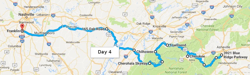
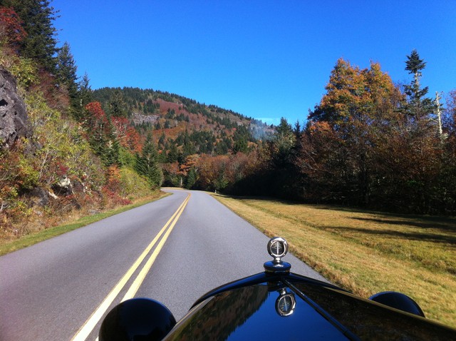
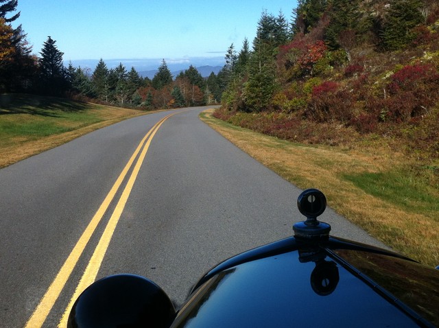
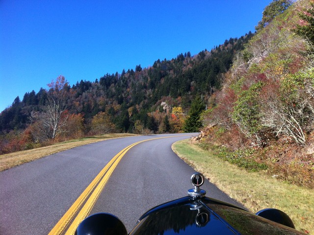
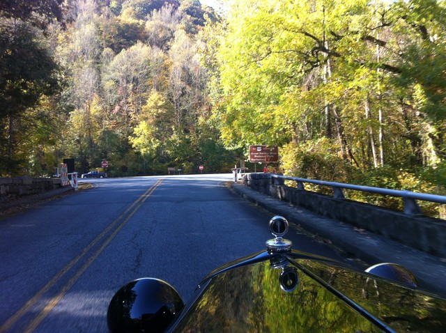
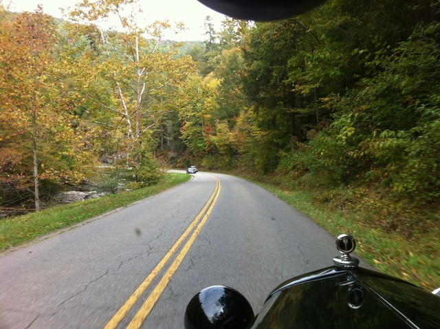
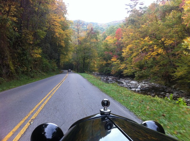
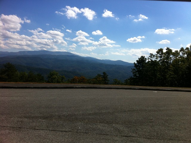
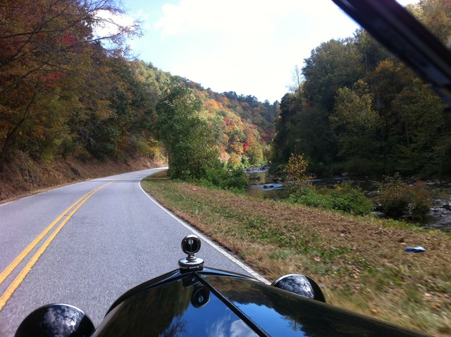
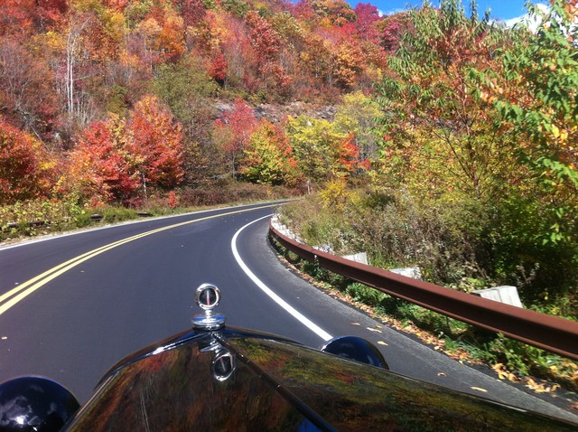
Day 4 started with finishing the Blue Ridge Parkway. It was a beautiful drive, the car ran great and there were few others on the Parkway. The fuel problems were related to temperature, not elevation - there were multiple spots over 5,000 ft in elevation in this section.
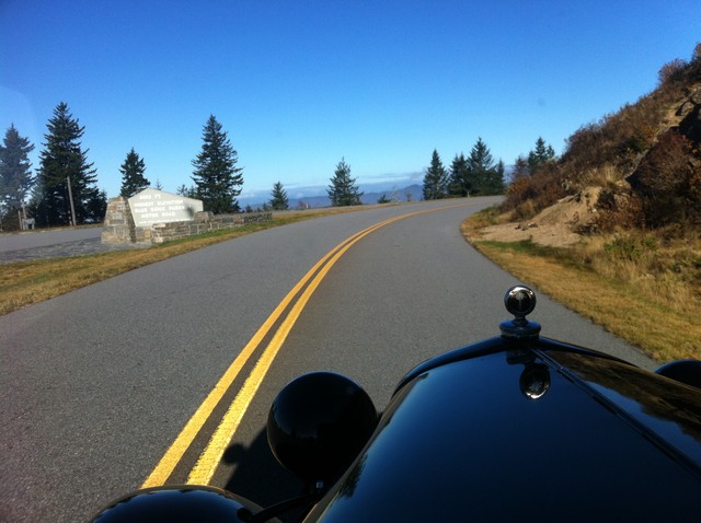
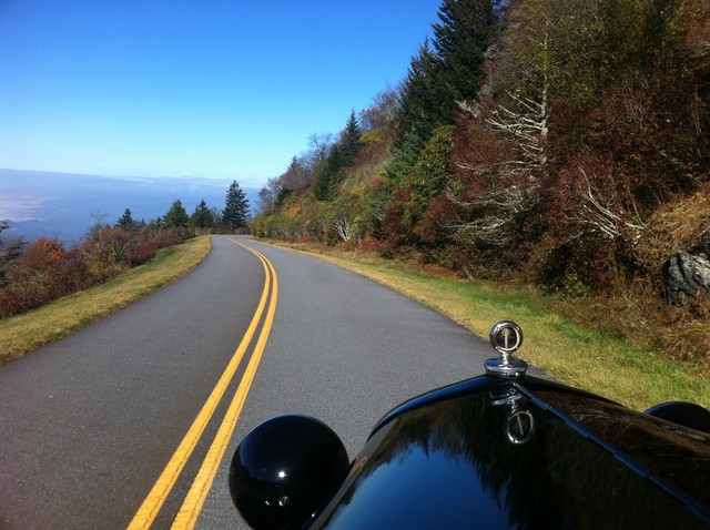
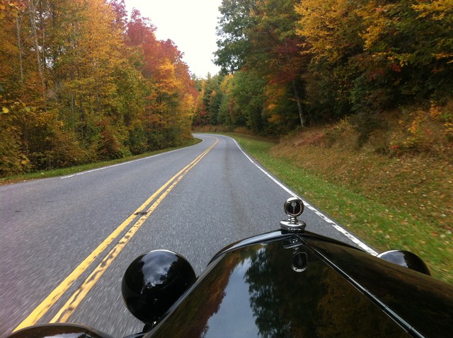
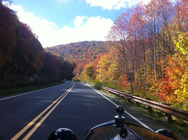
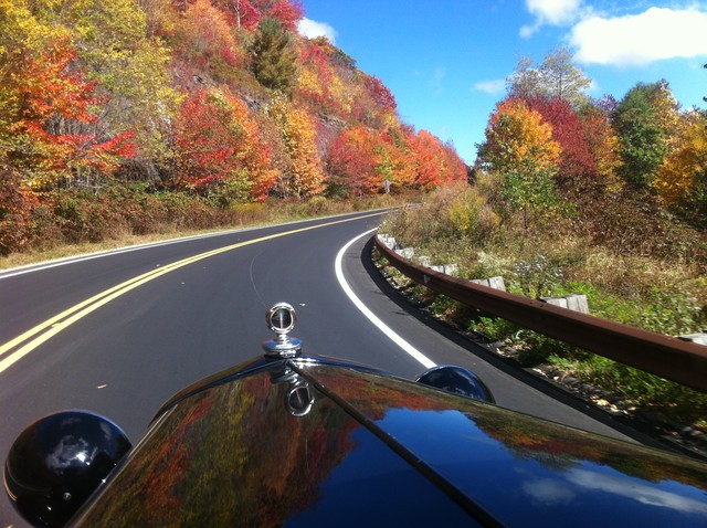
Richland Balsam Overlook - 6053 ft - the highest elevation on the parkway itself (Mt Mitchell is accessed from the Parkway but not technically on the Parkway).
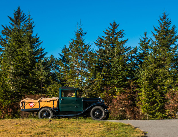
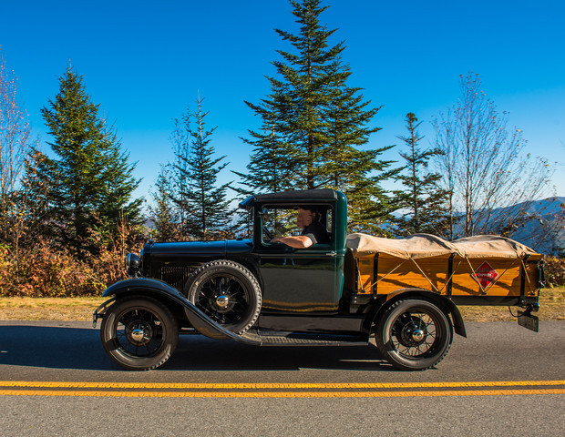
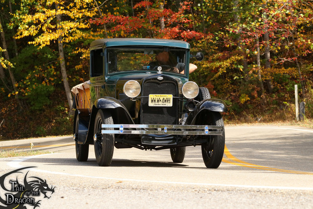
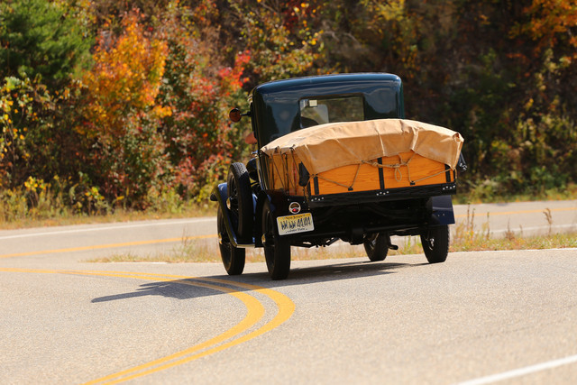
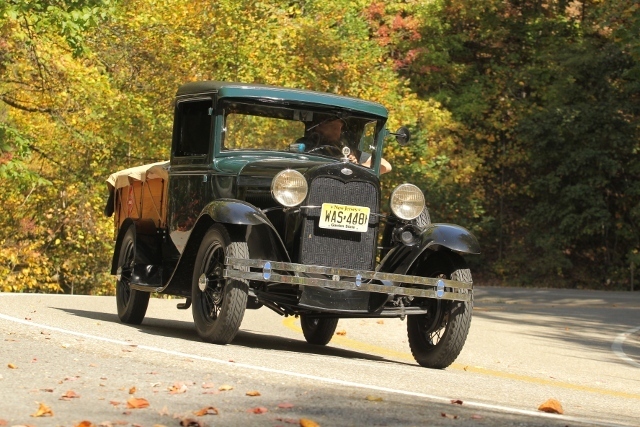
Near here we met photographer John Kimball who was nice enough to send us some pictures he took of the truck.
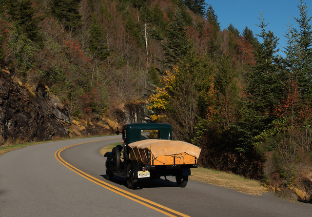
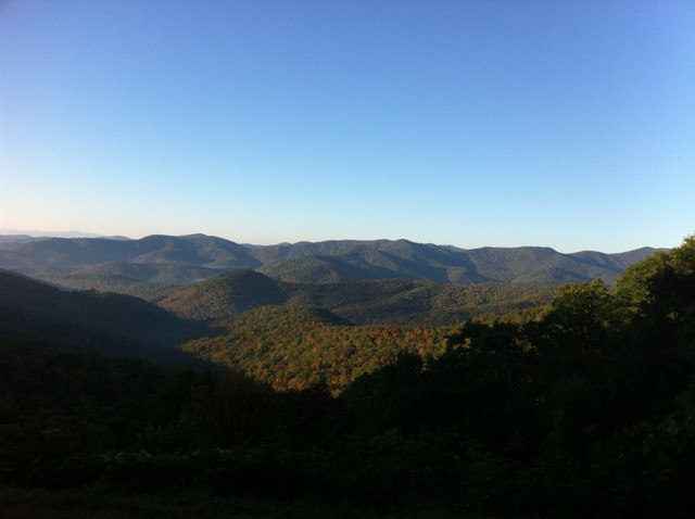
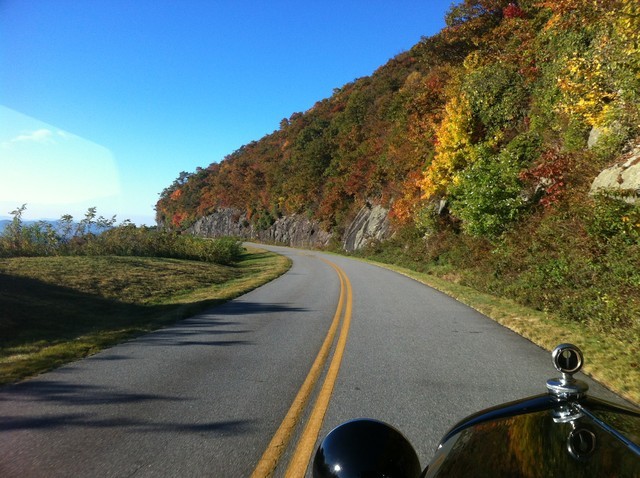
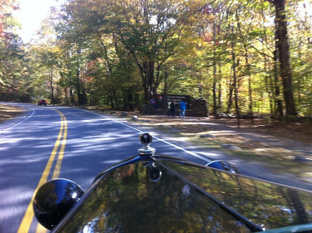
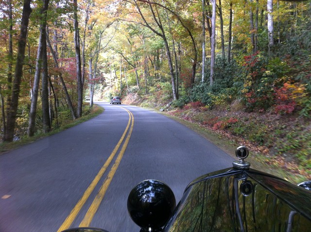
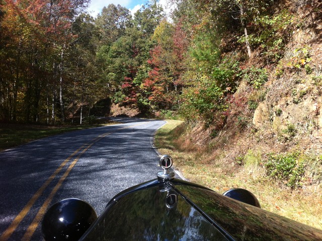
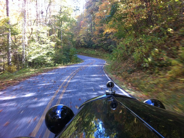
More Blue Ridge Parkway...
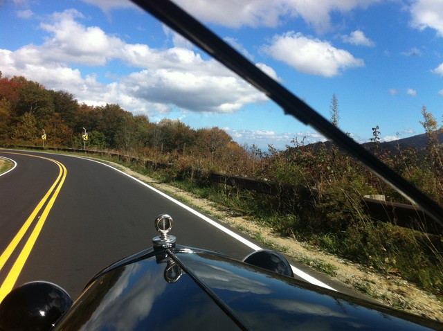
The end of the Blue Ridge Parkway - 469 miles. This is at the base of Great Smokey Mountains National Park on the North Carolina side.
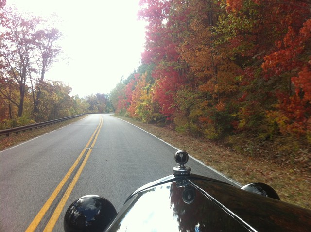
Entering Great Smokey Mountain National Park - it is pretty much a solid pull up to Newfound Gap (5049 ft) and then all downhill the rest of the way. This is the one and only place that we had a real accident scare - a car going in the opposite direction started into our lane to pull into an overlook while we were on the downhill and had to swerve back to avoid hitting us.
One of the nicest parts of the park was off the main road through the park - this was Little River Road - very scenic.
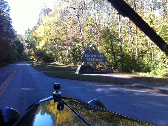
We expected the Foothills Parkway to be pretty much a trip through the woods, but it goes to the top of the foothills and has a great view of both the adjacent valleys and the mountains. It is popular with motorcycles who are also doing The Dragon.
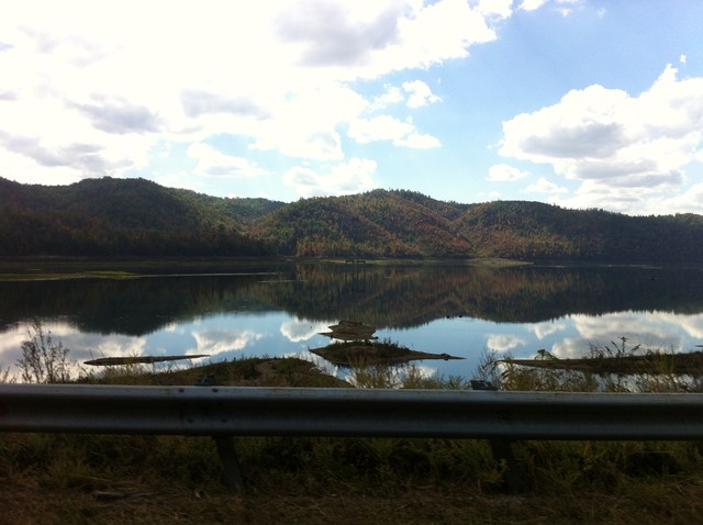
This is the lake between the Foothills Parkway and The Dragon on US 129.
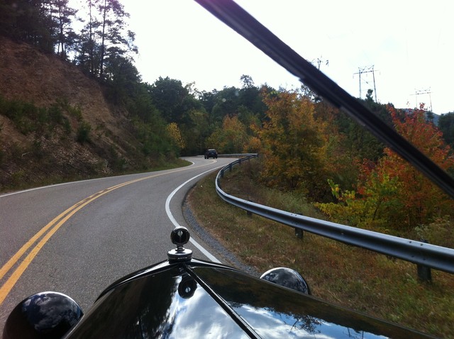
The start of The Dragon (a.k.a. "Tail of the Dragon") - "318 curves in 11 miles" (we didn't count). It is really popular with motorcycles and sports cars because of the number of turns, the banking and because there are no intersecting roads or driveways. There are a lot of great videos on Youtube on The Dragon, including a lot of crashes.
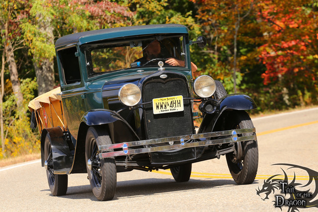
There were six (6!) different professional photographers who took pictures of us driving on The Dragon. One of the biggest (and pleasant) surprises was that no one ever came up behnd us while we drove through. We did see quite a few motorcycles and some cars going in the opposite direction. There was also a police stop of a tractor trailer (large trucks are now prohibited because they can't go through the curves on the road without using all of both lanes).
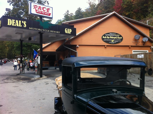
Deal's Gap Motorcycle Resort - at the end of The Dragon on North Carolina side. There were a lot more people here than the picture shows. Quite a tourist trap but fun anyway.
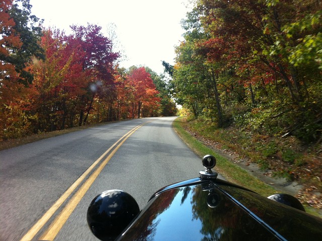
Driving between The Dragon and the Cherohala Skyway is scenic. We took the route through the Joyce Kilmer Forest. The road got smaller and more twisty but was very scenic. As an aside, Joyce Kilmer was famous for writing a poem named "Trees" in 1913. Being from NJ (where he was from) it is amusing that in North Carolina they named a old growth forest for him but in New Jersey he is remembered with a service area on the NJ Turnpike...
The Cherohala Skyway (branded by some as "the mile high legend") is a really great road. The elevation ranges from 930 ft at the Tennesee end to 5390 ft at the highest point, the Santeetleh Overlook. The grades were steeper than expected and there were quite a few times of high speed 2nd gear downhills still needing the brakes. After the end of the Skyway we stopped to get gas and quite a few people stopped to talk and were all very nice. One guy showed me pictures of his 48 Plymouth / Dodge Diplomat car - that looked interesting. A couple that stopped to talk was a car that was around us a good bit on the Skyway. They have a Model A and wanted to see what modifications ours had - they were amazed that it is stock after seeing it do the mountains. They left saying they were really inspired to get their "A" out more.
⇐Day 3 | Day 5⇒
Copyright 2010-2017 Sheepisland.com - all rights reserved.